Shaping Sustainable Global Landscapes using Remote Sensing
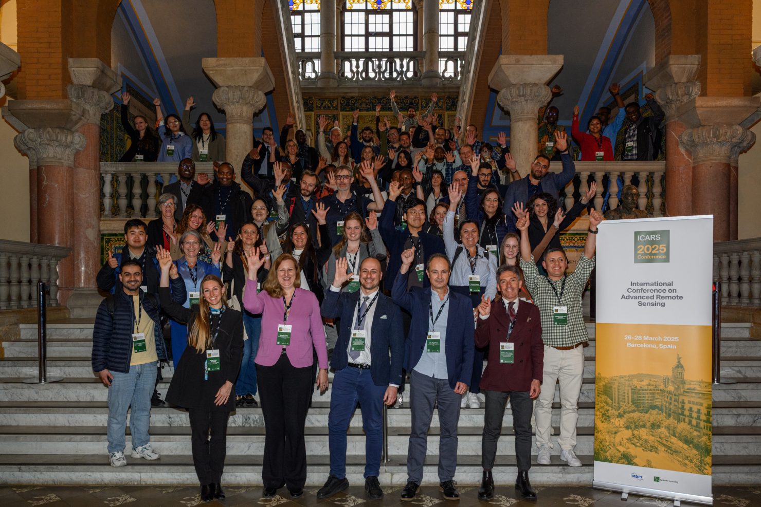
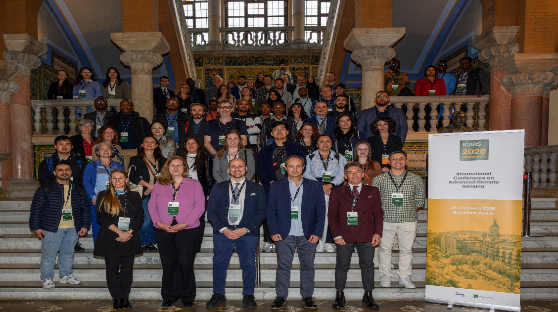
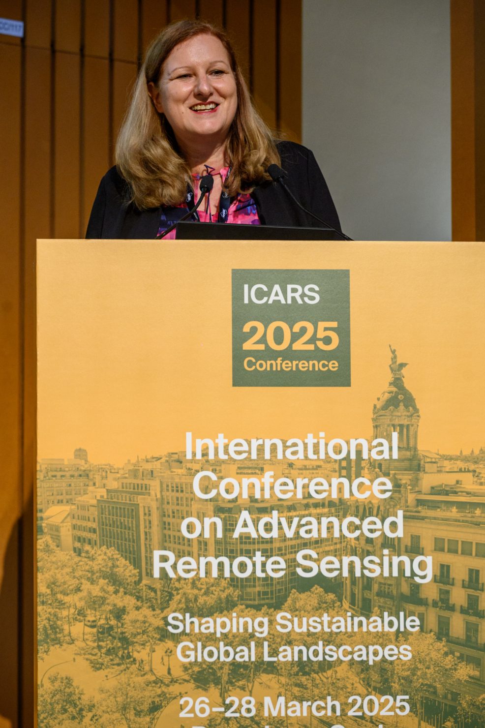
MDPI recently hosted the 1st International Conference on Advanced Remote Sensing – Shaping Sustainable Global Landscapes (ICARS 2025). The conference was organised to provide a comprehensive platform for exploring how advanced remote sensing is revolutionising our understanding and management of global landscapes and sustainability. It was supported by a wide range of our journals. This included the Open Access journal Remote Sensing, which sponsored the awards.
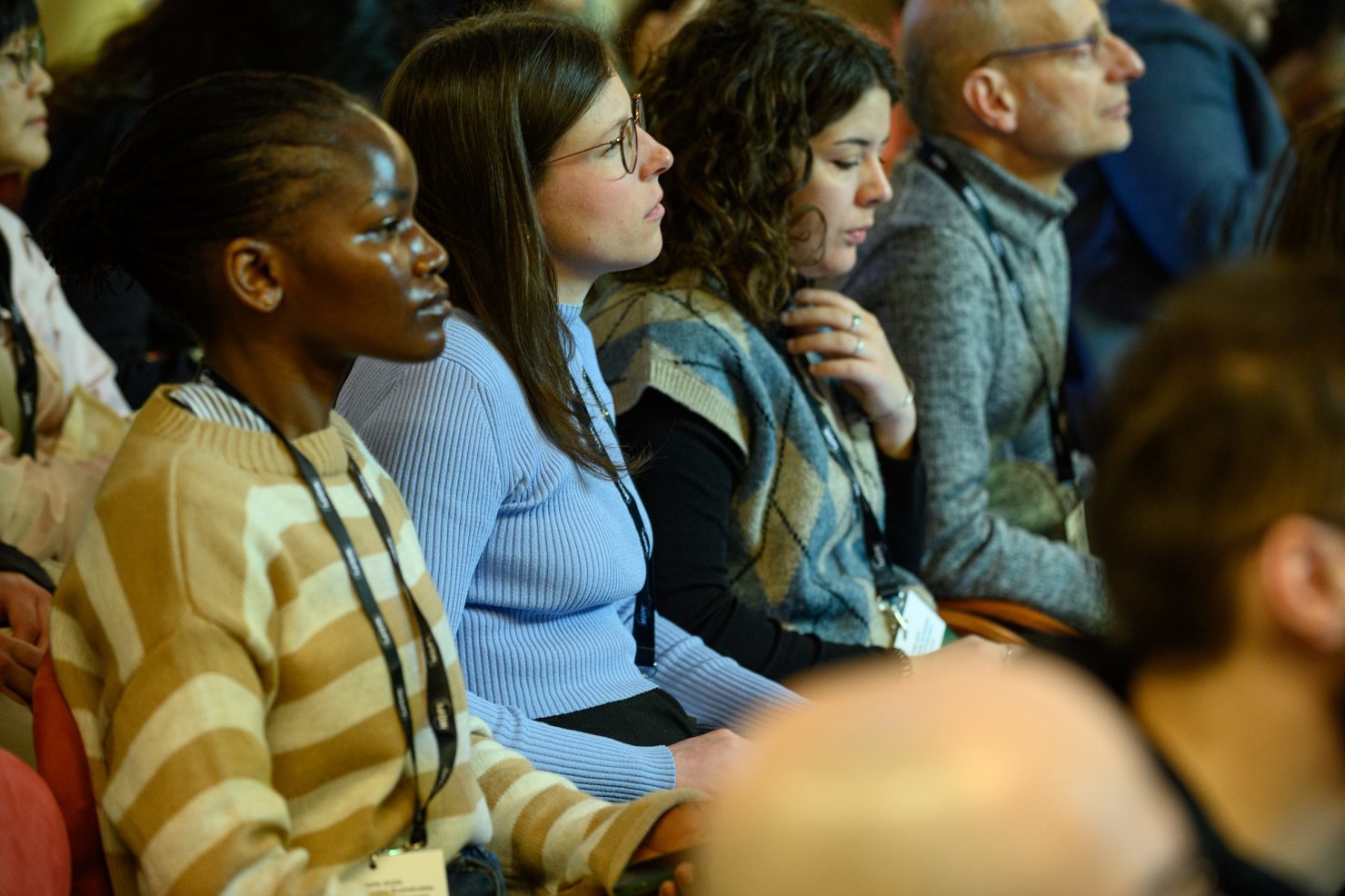
The conference took place in the beautiful setting of Barcelona and was held over 3 days. It was hosted by experts and supported by the global remote sensing community. The event was extremely well received and a colossal success, boasting an attendance of 130 participants.
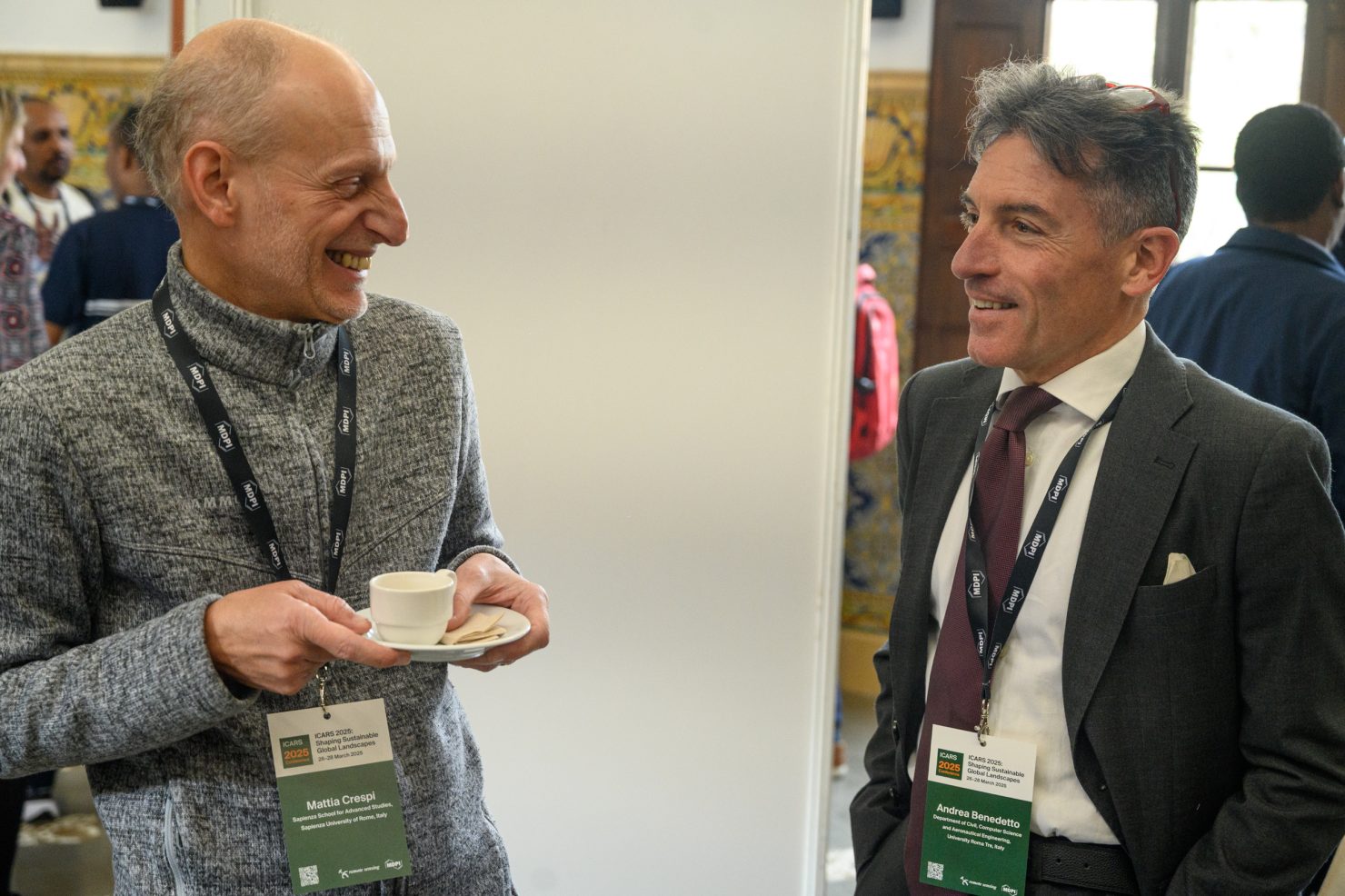
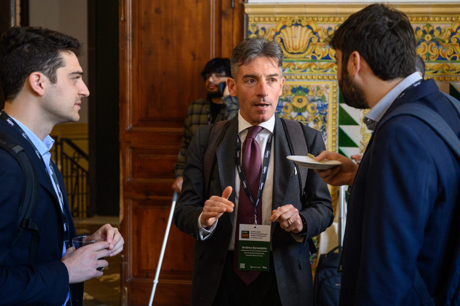
A wide range of people played crucial roles in making this conference successful. This includes the three chairs of the event: Professor Dr Fabio Tost, Professor Dr Andrea Benedetto and Professor Dr. Luis Ángel Ruiz. The chairs worked closely with scientific committee members to recruit world-class speakers and scientists who put together inspiring sessions for the conference.
The conference showcased impressive speakers, including keynote speakers from around the globe. The success of the conference is also due to their captivating sessions, where they presented groundbreaking research, advancing the field of remote sensing. Their sessions also encouraged participation from audiences and inspired future research.
Here, we look at some of the important research from the chairs, Professor Dr Fabio Tosti and Professor Dr Andrea Benedetto, and one keynote speaker, Professor Dr Monika Kuffer, and their impact on remote sensing. Furthermore, the article covers how their work is shaping the sustainable global landscape.
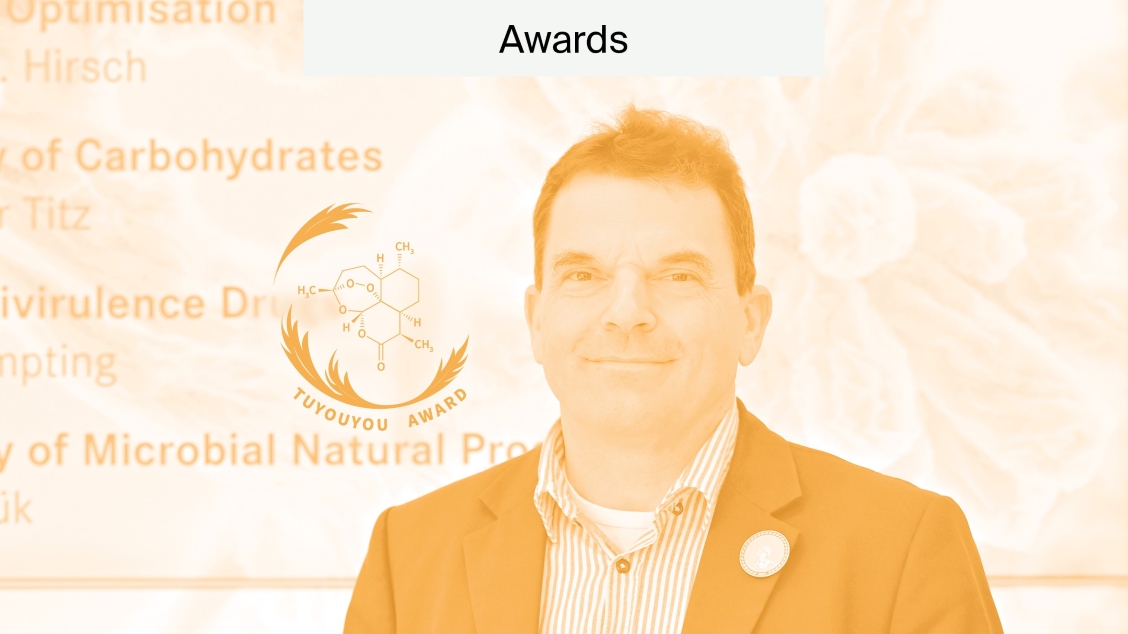
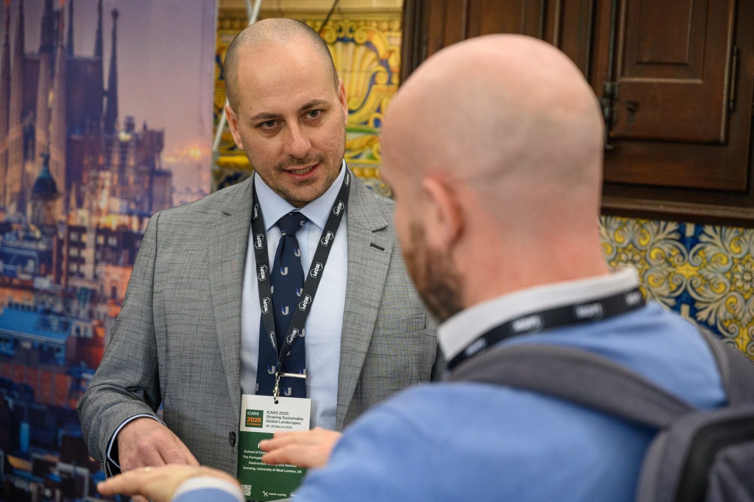
Professor Dr Fabio Tosti
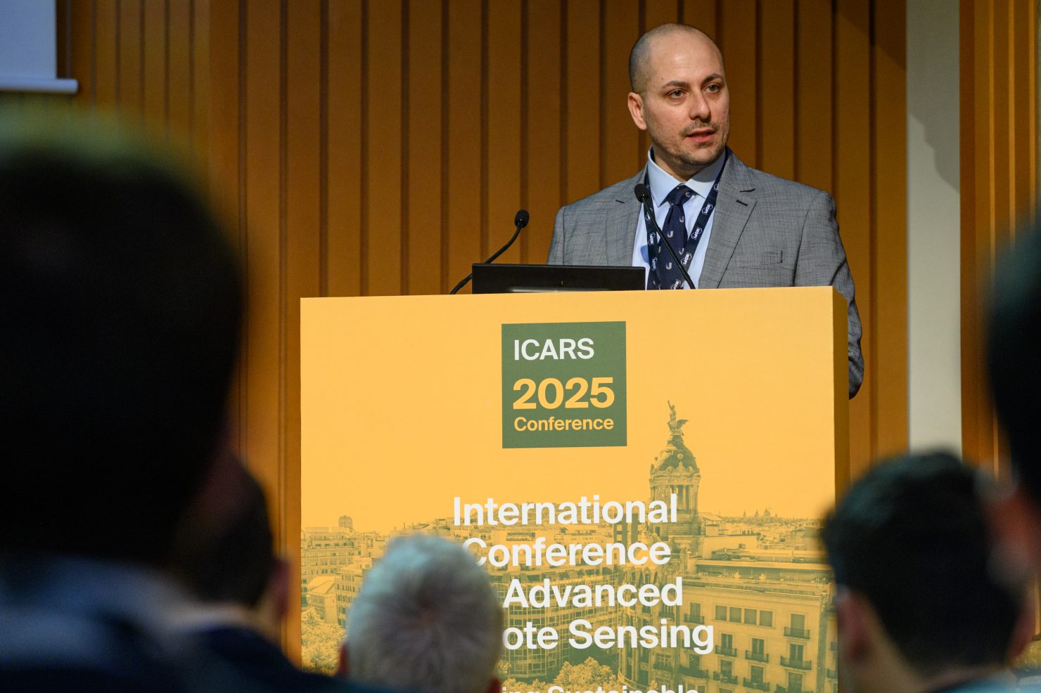
Professor Dr Fabio Tosti is a registered chartered engineer and a professor of civil engineering at the School of Computing and Engineering, University of West London (UWL). He research specialises in the development of new algorithms, methodologies and models for geoscience applications. Additionally, he also specalises non-destructive and remote sensing assessment of civil and green infrastructure and cultural heritage. Moreover, he is also the director of “The Faringdon Research Centre for Non-Destructive Testing and Remote Sensing” at UWL.
According to the research centre, his main expertise is “applying non-destructive testing (NDT) and remote sensing technologies to inspect and monitor changes or damage in sub-surface structures”.
He employs a range of both hardware- and software-based methods to identify the most effective ways of assessing damage to trees, highways, and railways with minimal intervention.
Using non-invasive sustainable methods to access safety
Professor Dr Tosti has an impressive portfolio of research helping to improve the safety of pavements, roads and even runways. He is the leader of a variety of projects which involve the development of specialised radars and ground-penetrating radars that can be utilised for a range of applications. This includes determining volumetric water content in structures, substructures, foundations and soils. Evaluating the water content of structures is important for identifying early signs of deterioration. Furthermore, water contributes to the circulation of degrading and corrosive agents such as chloride.
Professor Dr Tosti’s other projects include developing ground penetrating radars to conduct road inspections, assess pavement damages and structure inspections. He has an impressive list of accolades and was elected as an Early Career Scientist (ECS) Scientists’ EGU Representative of the “Geosciences Instrumentation & Data Systems (GI)” Division for 2015–2016 and was a GI ECS representative in 2016–2017. Professor Dr Tosti is passionate about supporting early-career scientists and young researchers. When asked about the conference, he explains:
“I was very pleased to see lots of young researchers joining the conference and networking, as well as the geographical distribution being fantastic with a lot of countries represented. And also thanks to the fantastic organisations, the publisher and the conference team who are really instrumental in making this conference a success.”
“ICARS is contributing to a new model where technical aspects are well integrated with sustainability. I especially appreciate that the audience is interactive and contributing to how remote sensing can reach the sustainable development goal.”
Professor Dr Andrea Benedetto
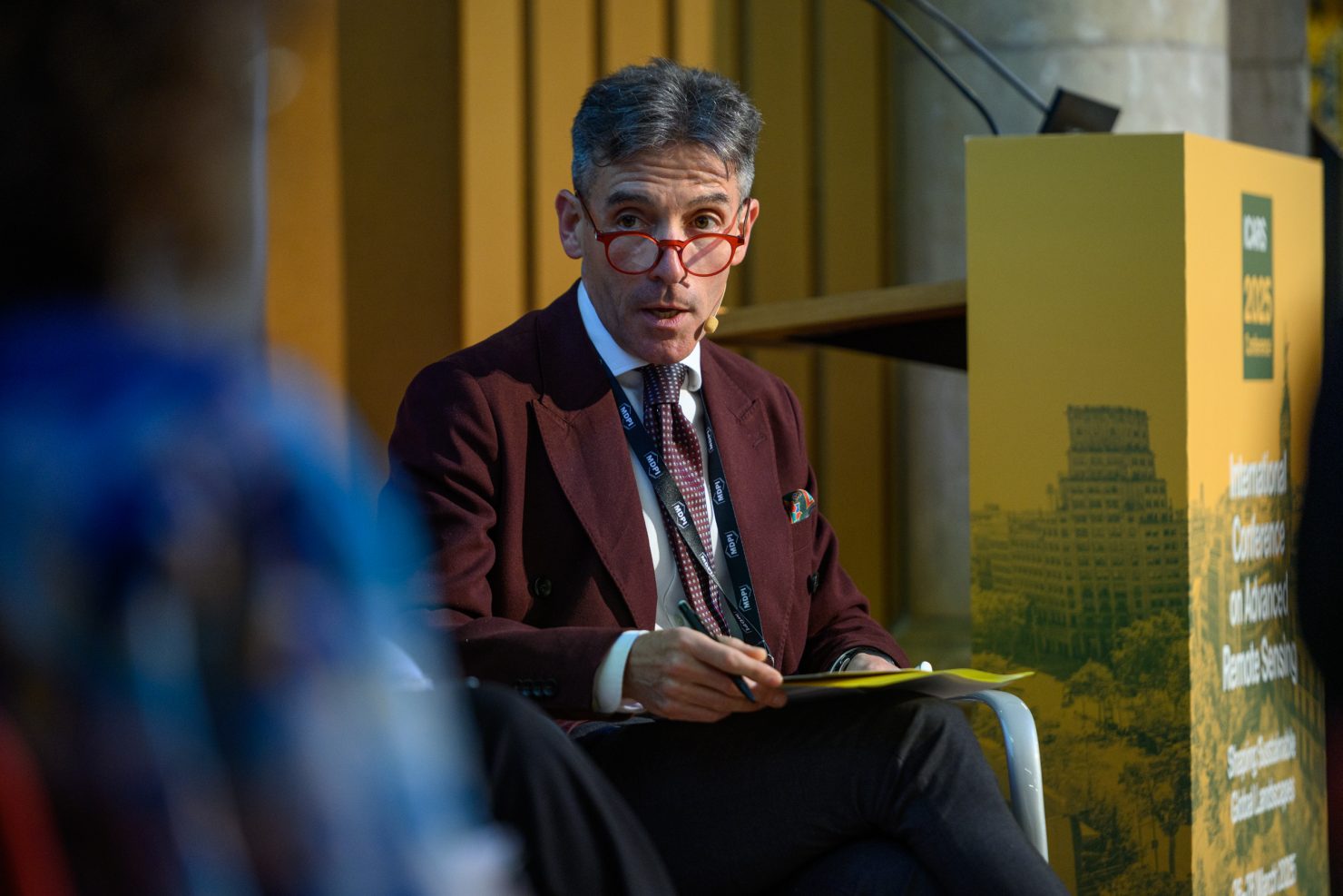
Professor Dr Andrea Benedetto is a full professor in civil engineering at the University of Roma Tre, Italy. He is a pioneer in the field of non-destructive testing (NDT) and remote sensing applied to infrastructure monitoring and maintenance. Non-destructive testing is the evaluation of materials, properties, components or systems without causing damage with the use of remote sensing technologies. Moreover, his research interests also include the field of planning, design, safety, sustainability and development of transport infrastructure.
Professor Dr Benedetto has coordinated and run various international projects. In addition, he also holds prominent institutional roles, including international consultant for EU research programmes and national expert supporting ministries. Furthermore, he is also a director of the Department of Engineering at the University of Rome Tre.
Non-destructive testing for preservation and sustainable development
Professor Dr Benedetto has a wide variety of research and projects ranging from assessing road pavements and transport infrastructure to investigating the composition of ancient Roman walls.
The conservation of these ancient structures requires accurate wall thickness measurements. Professor Dr Benedetto collected these data using non-invasive ground penetrating radar and light detection and ranging technology (LiDAR). LiDAR is a remote sensing technology that uses light in the form of a pulsed laser. It can be used to measure variable distances to the earth and can be used to examine the surface of the earth. Other research projects contribute to sustainability, including the use of microwave heating to recycle road pavement materials.
These projects are important for sustainability as well as preserving important historical relics for future generations. It’s important that young researchers are inspired by projects such as these and continue to create research in this field. Dr Benedetto expressed his excitement about having so many young researchers and PhD students attending and participating in the conference.
“What I love very much is this participation of young people, a lot of PhD students and early researchers, and the other thing is that these researchers come from different countries and a lot from developing countries, which is quite new in my experience in a conference like this. I think this is one of the most important points of this conference.”
Professor Dr Monika Kuffer
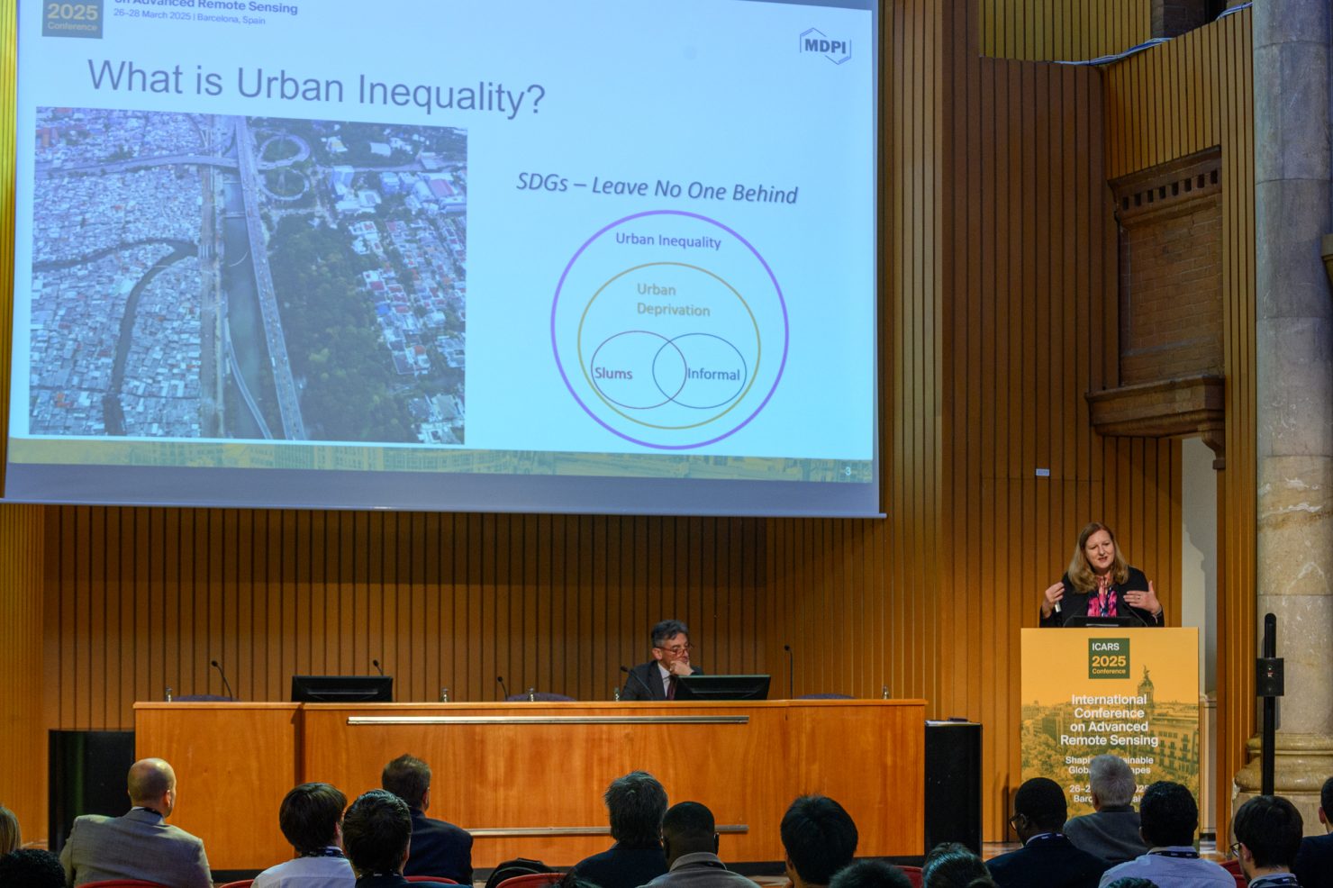
Professor Dr Monika Kuffer is a professor at the Behavioural Management and Social Science as well as the Faculty of Geo-Information Science and Earth Observation at ITC, University of Twente, Netherlands. She is a leader in sustainable development, regularly contributing to the United Nations Sustainable Development Goals (SDGs). In particular, her research focuses on poverty, living quality and economic development in urban/rural environments using remote sensing, Geographic Information Systems (GIS), and AI-based methods.
Professor Dr Kuffer co-chairs an international network on deprivation area mapping, IDEAMAPS. Moreover, she is also the lead on a variety of research projects on urban deprivation and environment, IDEAtlas, SPACE4ALL, IDEAMAPS Ecosystem, and ONEKANA. In addition, Professor Dr Kuffer is supporting and promoting education in sustainable development. She is the project director of training grants, IDeAMapSudan and DATA4HUMANRIGHTS in Nigeria and Sudan.
Supporting sustainable cities
Professor Dr Kuffer has a range of projects which focus on monitoring the form and dynamics of deprived areas with remote sensing, spatial statistics, and spatial metrics.
She provides data and insights to countries that lack resources and access to education to address the power imbalance and support sustainable development for all. This includes using satellite imagery and cooperative citizen databases produced from data collected by citizen science to accurately create an urban population map for deprived areas and estimate the population density in these areas.
Populations in deprived areas are often estimated using outdated or unreliable census data. Inaccuracies in data used to predict the number of citizens in these areas limit evidence-based decision-making for proper resource allocation. This limits resources and builds further urban inequalities.
When asked about her inspiration for this important work, Professor Dr Kuffer explained:
“I personally studied human geography, which also links to urban planning, but I also studied remote sensing, so I wanted to see how those topics combine.
I started working with pioneers of urban remote sensing and with a strong focus on the Global South because their cities are growing often without much development control, so our observation data really can play a critical role in informed decision-making and guide resource allocation and really fill critical data gaps.
Since working with particular local stakeholders, I was seeing that earth observations can fill the critical data gap, so this has been inspiring me to see how we can address and provide local access with more actionable information.”
When asked about highlights from the conference, Professor Dr Kuffer continued:
“What I liked about this conference is that people with very diverse perspectives are coming together from very diverse geographies, so it brings different perspectives together which are all sort of relevant from an urban development or world development perspective. Bringing different perspectives can produce new knowledge and science.
I have never seen a conference that has a nice format. It’s not too big; it’s a very nice human scale, so you typically interact with almost everybody. It’s a fruitful experience of meeting a lot of new people working on similar topics or different topics and a lot of new insights and plans of collaborations emerging.”
Future conferences
The 1st International Conference on Advanced Remote Sensing – Shaping Sustainable Global Landscapes (ICARS 2025) brought together experts and new researchers from all areas of remote sensing, forging links and new opportunities for collaboration. The conference inspired new conversations and relationships to develop, using remote sensing to reach sustainable development goals for all.
If you would like to find out more about attending or participating in future remote sensing conferences or events for 2025, please see here.
Or if you would like to read more about the research presented at the conference, please see the Topic: “Advancing Global Sustainability Through Remote Sensing Technologies here.